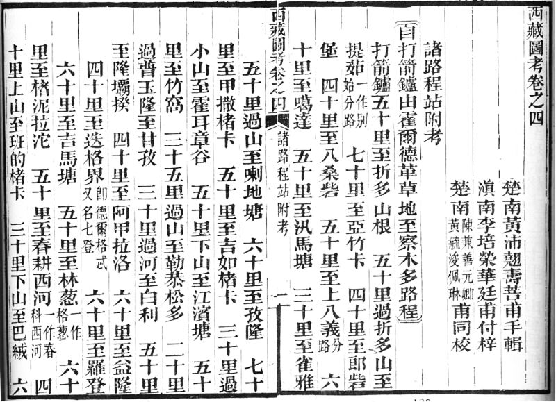
Xizang tukao 西藏圖考 is a report on the geography of Tibet compiled by the late Qing-period 清 (1644-1911) scholar Huang Peiqiao 黃沛翹, courtesy name Shoupu 壽菩, from Shanhua 善化 close to Changsha 長沙, Hunan. Because of military merits in a campaign in Guizhou he rose from the post of a petty official to that of surveillance commissioner (guanchashi 觀察使) and served as circuit intendant (daoyuan 道員) of Cheng-Jin 成錦 in Sichuan. The maps were drawn by Han Xian 韓銑.
In 1885, Huang began to study reports on Tibet, like Xizang zhi 西藏志, Xizang jianwen lu 西藏見聞錄 by Xiao Tenglin 蕭騰麟, Xiyu jianwen lu 西域聞見錄 by Qišiyi 七十一, Xizhao tulüe 西招圖略 by Sungyūn 松筠, Weixi jianwen lu 維西見聞記 by Yu Qingyuan 余慶遠, Wei-Zang tushi 衛藏圖識 by Sheng Shenzu 盛繩祖, Zangxing jicheng 藏行紀程 by Du Changding 杜昌丁, and also general works like Shuijingzhu 水經注, and Haiguo tuzhi 海國圖志, or the chapters on Tibet in historiographical and geographical books.
A year later he finished and had printed his own study on Tibet, with a length of no less than 8 juan. While his maps of Tibet are a central part of the book, the text covers a wide range of topics, from history and geography to administration, economy, religion, language, script, and customs and habits. consists of poems and writings written by emperors (chenzhang 宸章), explanations ot the maps (tushuo 圖說), historical origins 源流, passes 審隘, courier stations 程站, moutains and rivers 名山大川、藏事、藝文等目。
 |
Relay stations from Dartsedo (Dajianlu 打箭爐, today Kangding 康定) westwards, giving distances and general circumstances of the way. |
Of great interest is the bibliographical chapter which lists books barely known, like Mao Chenkai?’s 毛振{豈羽}/oder 翧 Xizheng ji 西征記, Wang Woshi's 王我師 Luzang zongji 爐藏總記//藏{金盧}總記, or Li Juyuan's 李菊園 Xiyu shuji 西域述記.
The Xizang tukao was first printed in 1886, 1897, and in 1903 again, as part of the series Huangchao fanshu yudi congshu 皇朝藩屬輿地叢書. A modern edition was published in 1983 by the Xizang Remin Press 西藏人民出版社, together with the book Xizhao tulüe.
| 首 | Preface 序, Principles of compilation 例言, poems and writings by emperors 宸章 |
| 1 | General map 西藏全圖, 沿邊圖、西招原圖、乍丫圖, |
| 2 | History of Tibet 西藏源流考, 續審隘篇, 內地程站附考。 |
| 3 | 西藏程站考,附詩。 |
| 4 | 諸路程站、附考。 |
| 5 | City walls and moat 城池, fords and bridges 津梁, passes 關隘, mountains and river 山川, institutions 公署, temples and shrines 廟宇, historic places 古跡, local products 土產, ... |
| 6 | 为藏事續考。 |
| 7-8 | Literature 文藝考, app. Memorials 附奏議; adjacent countries 外夷考、附錄喀木西南解說辨異。 |